Shuswap Lake pollution report leaves questions
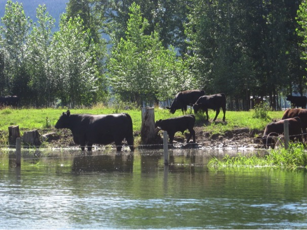
It is a massive report, through a modeling exercise, that provides detailed data about the sources of nutrients that enter Shuswap Lake and yet it […]
Shuswap Lake pollution report leaves questions Read More »