Bear time in the Shuswap
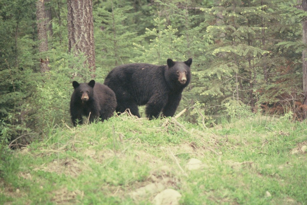
As the fruit ripens in the fall and the berries in the backcountry dry up, black bears become a regular sight in our backyards. Over […]
Bear time in the Shuswap Read More »
As the fruit ripens in the fall and the berries in the backcountry dry up, black bears become a regular sight in our backyards. Over […]
Bear time in the Shuswap Read More »
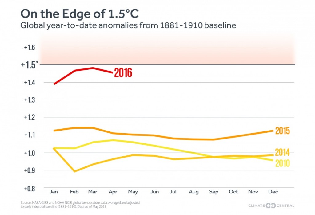
It appears as if the earth is entering a new phase of global warming, as temperature records are continuously being broken and impacts are increasing,
The glaciers are melting Read More »
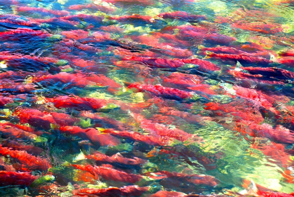
The 2010 Adams River Salmon Run had the largest return in nearly 100 years The Fraser Basin Council recently released a comprehensive report that analyzes
Fisheries report provides useful information Read More »
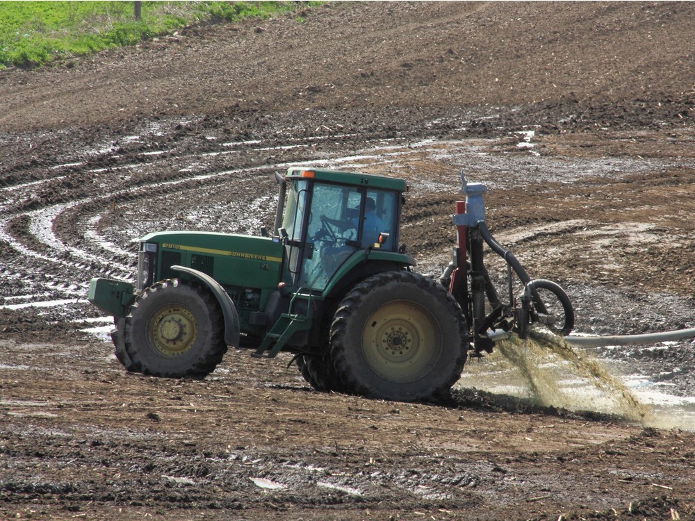
Manure sprayer at Hullcar, photo by Al Price There are significant parallels between the groundwater contamination crisis in nearby
Impediments to solutions for agricultural pollution Read More »
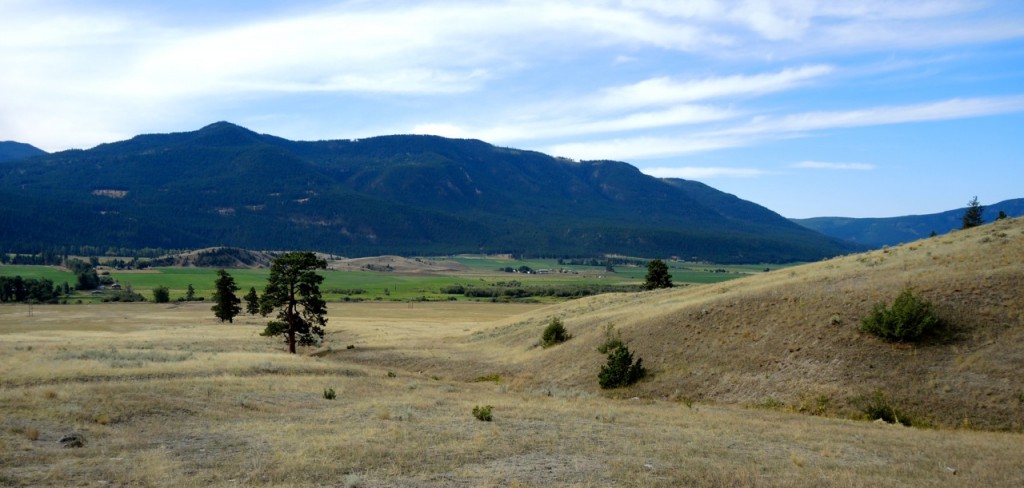
Westwold – the old Grande Prairie After over ten years of research and writing, my book Everything Shuswap goes into production this week. I had
Chronicling Shuswap’s astounding diversity Read More »