Last one room school was at Brennan Creek
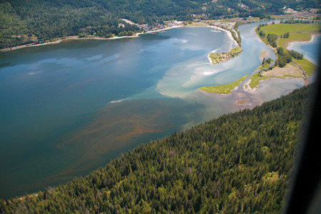
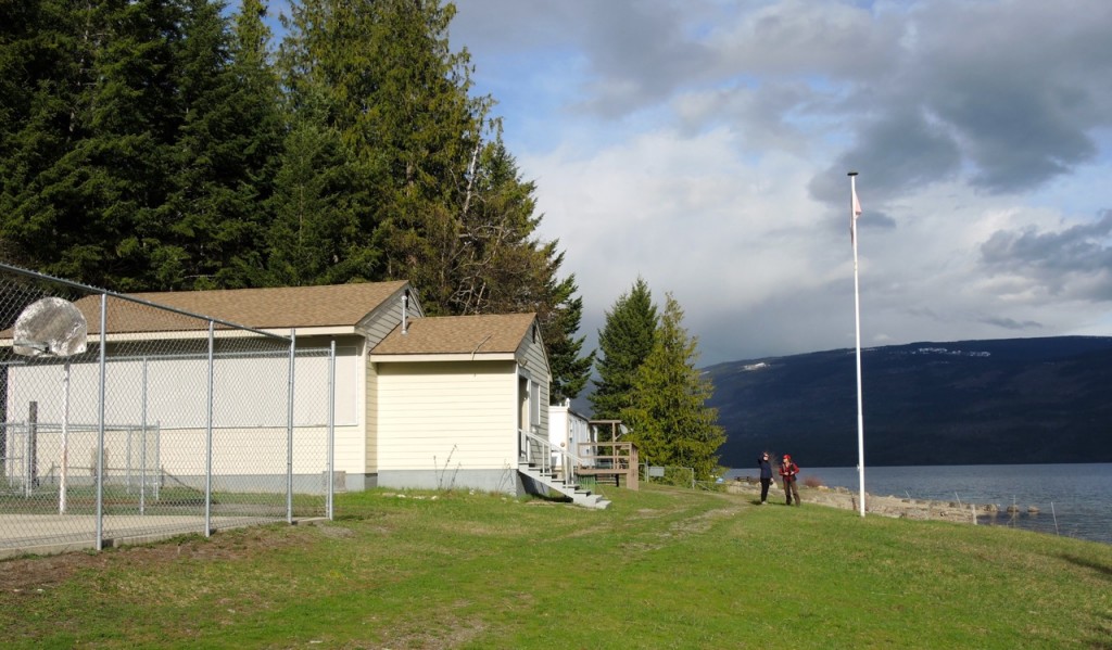
Brennan Creek School Continuing the community tour, we head to Shuswap’s second northernmost community of Brennan Creek, where logging has always been the economic […]
Last one room school was at Brennan Creek Read More »