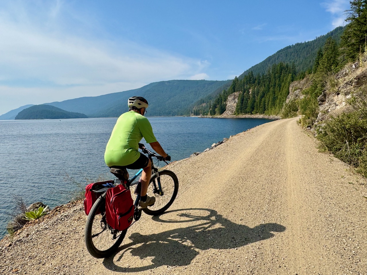
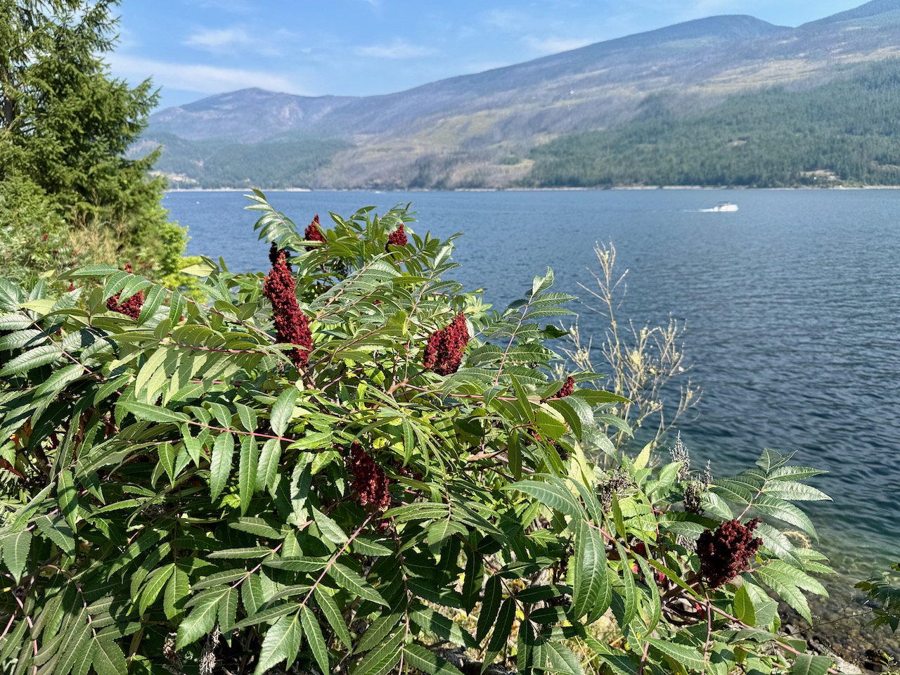
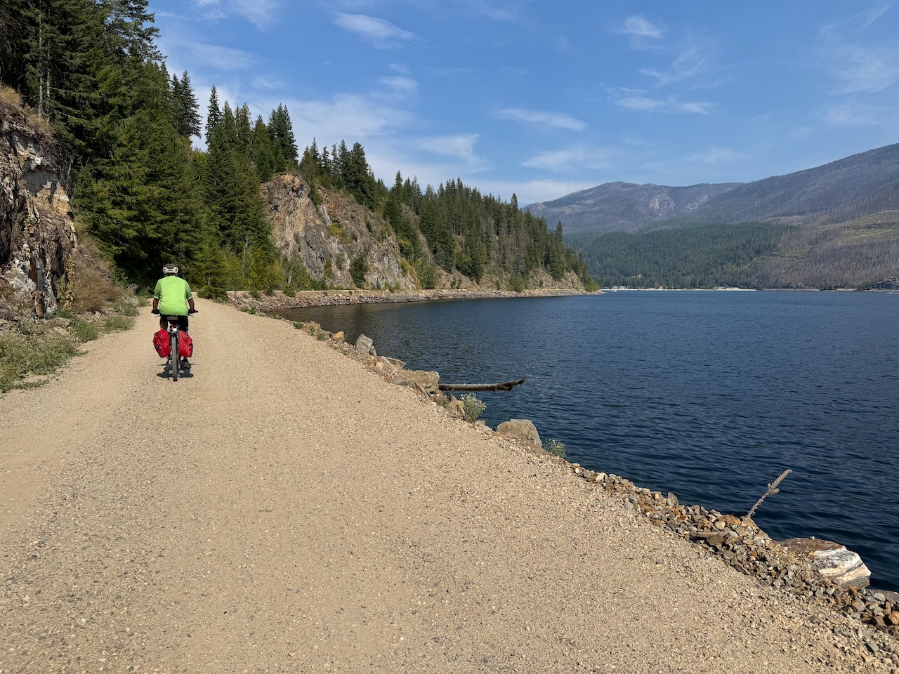
After years of anticipation, it was a real joy to finally bike the open portion of the new rail trail along Mara Lake. The views are spectacular, the trail is level and flat with minimal dust and already, the trail is attracting many users. We could have easily biked the completed section of the trail to the 14.5 km mark in less than an hour, but we took our time and stopped to chat with locals, have lunch, swim and take photos.
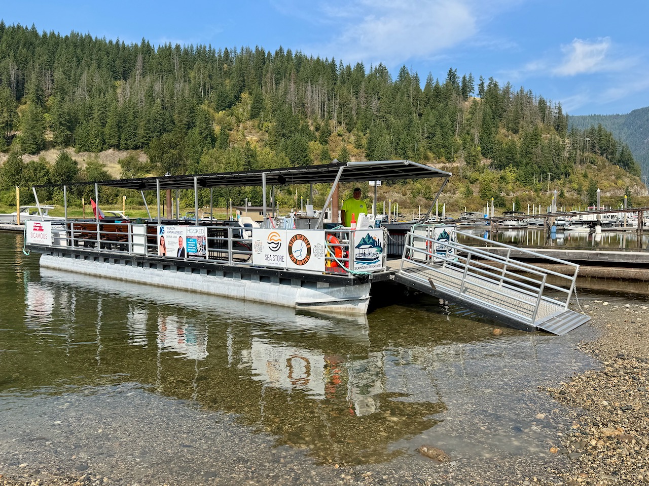
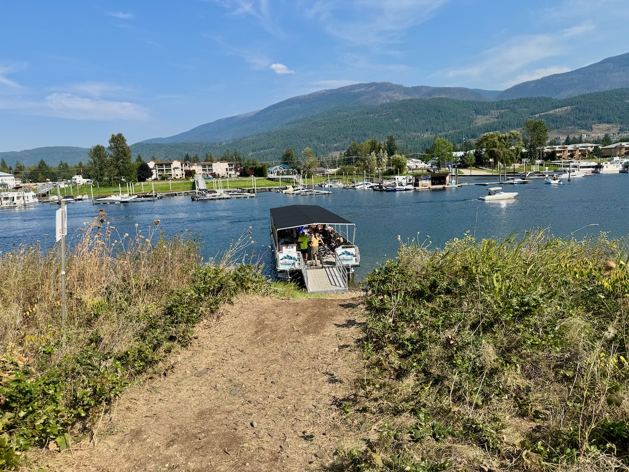
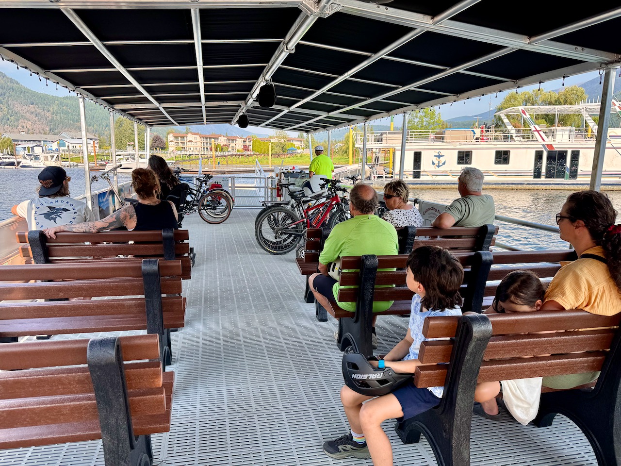
Thankfully, a group of volunteers with financial support from the District of Sicamous Development Corporation, organized a free ferry service to improve access to the trail while the new bridge is being built. Parking is limited on the west side of the channel, but there is unlimited free parking in Sicamous, and the ferry is just a few minutes away from the parking lot. With its comfortable seating and convenient bike racks, the ferry ride was a pleasure, although it was quick as the access to the trail is just on the opposite side of the channel across from the Martin St. boat ramp.
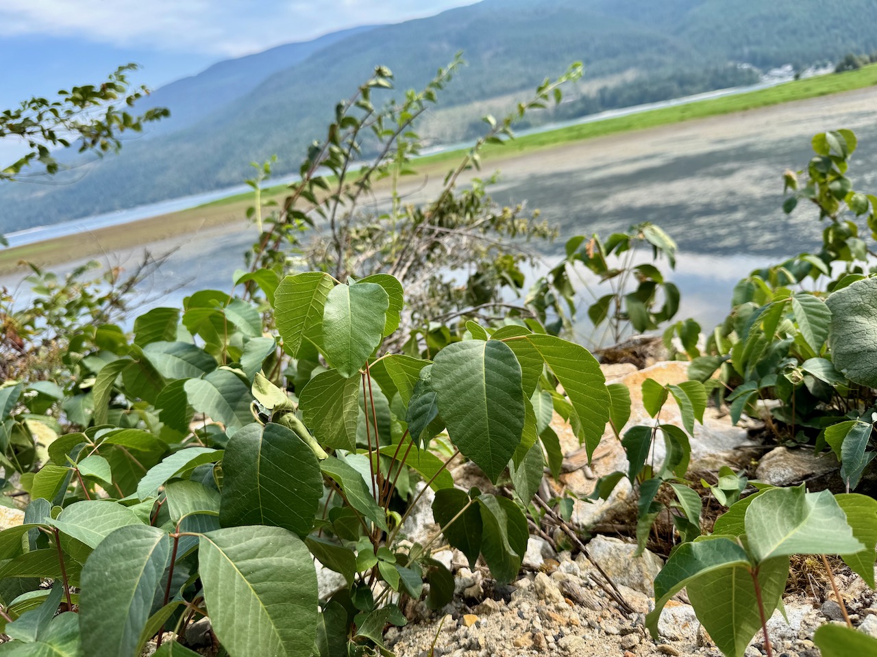
We breezed by the tiny Mara Point Provincial Park without noticing where it was. Perhaps better signage is needed, as this park might be a good spot to enjoy a meal by the lake and/or go for a swim. Some of the most stunning views are between the golf course and Turtle Bay, where the trail goes through a forest where many trees have died likely due to either pests, diseases, or drought or a combination of the three.
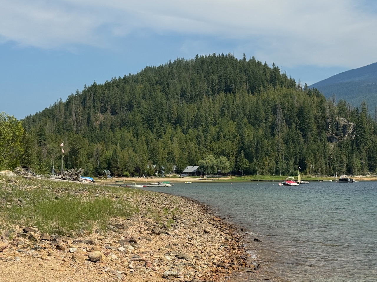
On the other side of Black Point there is another settlement area at Hurricane Bay, where there are approximately 12 beach cabins that are quite rustic. We were surprised to see vehicles and stopped to chat with a few summer residents. They explained that their access is via a logging road that begins just below the MaraHills Golf Resort. All the cabins utilize solar power, their water comes from a spring on the hillside, and the owners enjoy their summers at one of the best beaches on the lake.
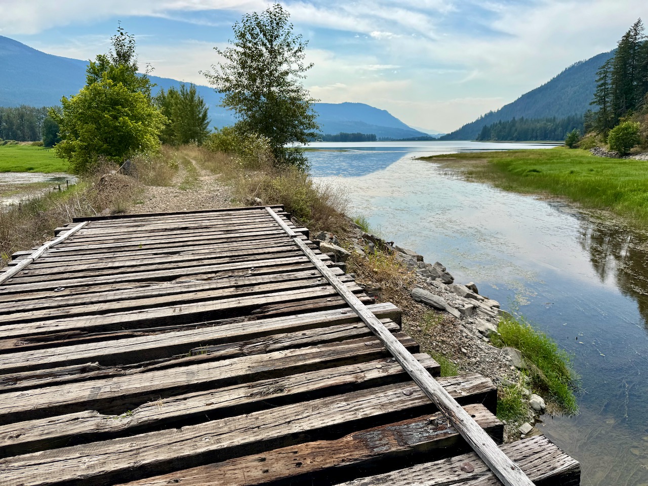
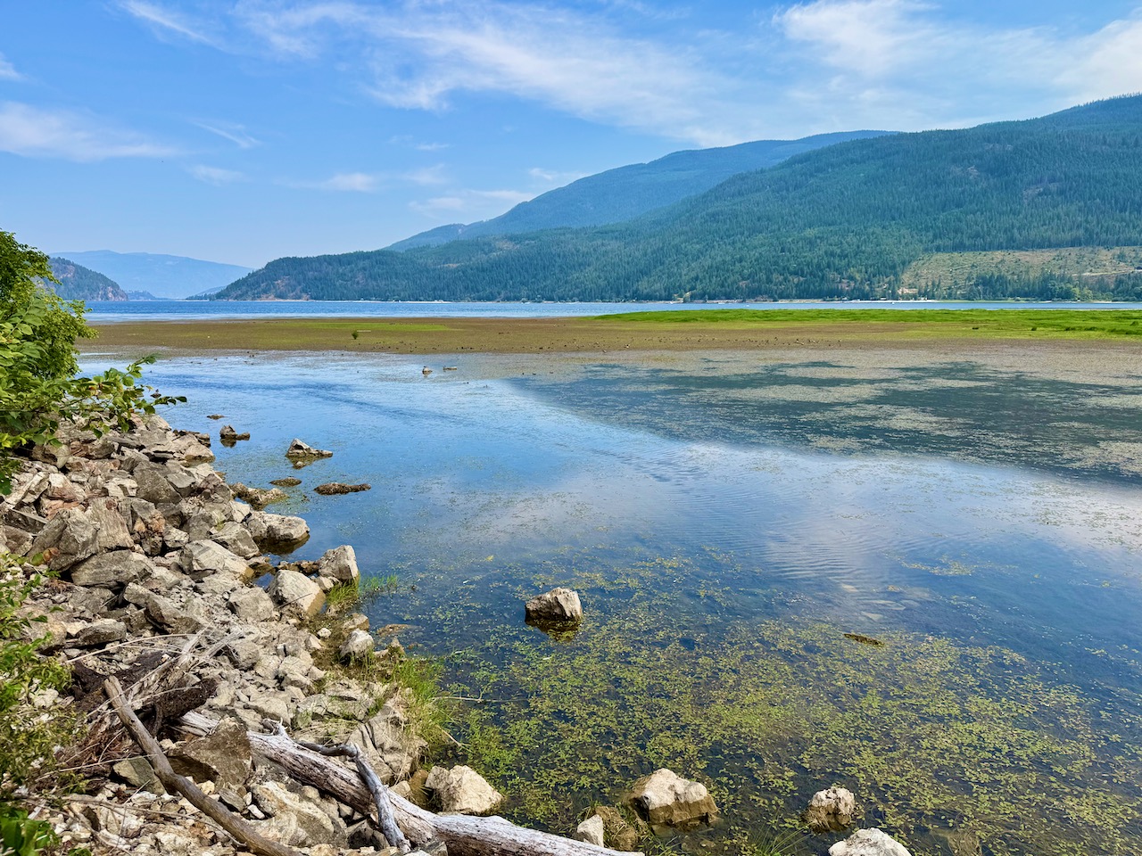
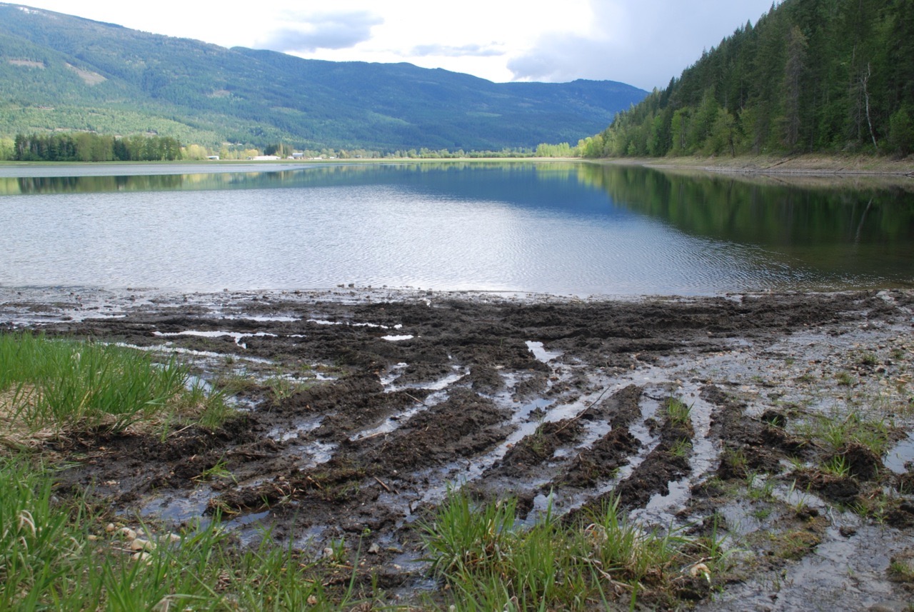
As we neared the temporary end of the trail where there is a decaying bridge over the outlet of Rosemond Lake, we were treated to the sight of dozens of shorebirds that frequent this ideal, wetland habitat area. To the north there is a hiking trail used by the locals along the eastern shoreline of Rosemond Lake that passes by the Rosemond Lake Recreation Site that has camping spots accessed by a logging road from the Larch Hills. It would be good if access to this site was closed, because irresponsible mudboggers have been tearing up the mudflats with trucks and motorbikes and thus damaging sensitive habitat.
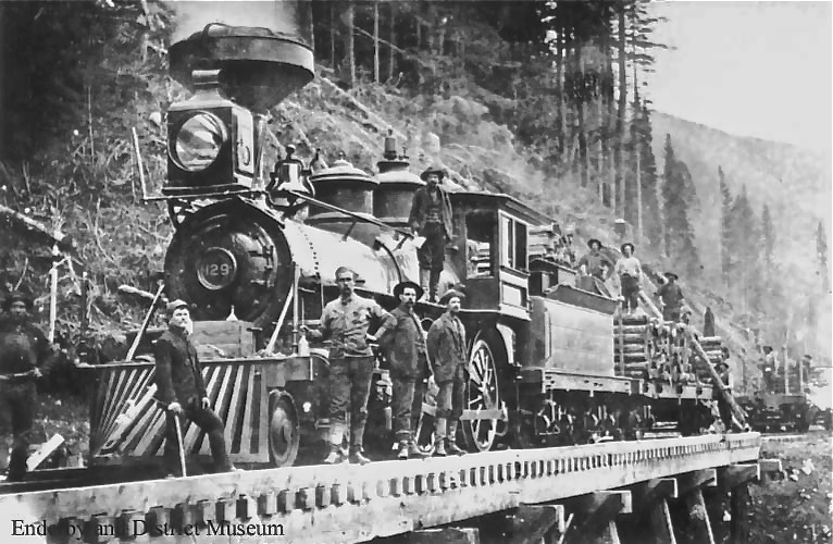
When, hopefully, the outstanding issues regarding access for the farmers are finally resolved with a favourable Agricultural Land Reserve Board decision and the trail is completed, it would be good to provide interpretive signage about the history of the area. Prior to settlement, there was once a large Secwépemc village along the west shoreline of what now is Rosemond Lake. Before the Shuswap and Okanagan Railway construction began in 1890, the route was a well-used trail, then a wagon road that connected Mara to Sicamous. Rosemond Lake was created when many loads of fill were used to create the rail bed, leaving a channel to the Mara Lake where the railway bridge was built.
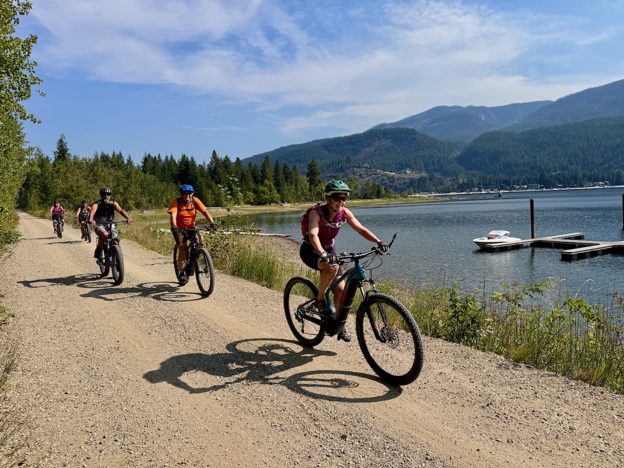
The Ferry Society reports that usage has been much higher than projected, with rail trail enthusiasts coming from far and wide, including a couple that drove up from the Lower Mainland just to ride the trail. A counter on the trail installed in May shows that usage has been climbing steadily to a total of 11,542 as of September 12, 2025. When it is finally completed, the Shuswap Okanagan Rail Trail will be a major draw for tourists for much of the year, as well as a key recreational amenity for Shuswap residents to enjoy the beauty of our region.
POSTSCRIPT
From the Salmon Arm Observer:
Local dignitaries were on hand for the big snip at the the ribbon cutting ceremony to mark the grand opening of the Sicamous section of the Splatsin te Secwépemc/Shuswap North Okanagan Rail Trail on Wednesday, Sept. 10.
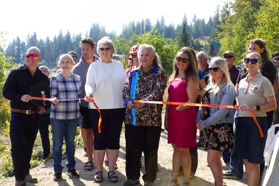
From left is Armstrong Coun. Jessie Valstar, CSRD Area E director Rhona Martin, MLA communications coordinator Ross Breitkreuz, RDNO chair Shirley Fowler, Splatsin Kukpi7 Michael Christian, CSRD chair Natalya Melnychuk, RDNO Area F director Allysa Hopkins and Sicamous Mayor Colleen Anderson. (photo: Heather Black-Salmon Arm Observer)
If it was not for the ongoing issues regarding easements for the farmers in Mara, the entire rail trail would have been finished by Sept. 10th, and now it could take another year before final approval is given by the Agricultural Land Reserve Board.
Learn more about Black Point from my article about our exploration there to determine its value for a potential park, given that it is Crown land. Exploring Black Point Peninsula on Mara Lake.
More photos from ride:
Here is the column I wrote in 2010 about the damage from mudbogging occurring at Rosemond Lake:
Rosemond Lake wetlands at risk
The Shuswap and Mara Lakes mapping project determined that only three percent of the shoreline are wetlands, which provide important habitat for many species including some that are rare and endangered. When I learned that over the last five years, shorelines and wetlands adjacent to Rosemond Lake were getting damaged by irresponsible motorized recreational vehicle operators, I decided to visit the area and see the damage first hand.
Rosemond Lake is just west of the Shuswap River and is attached to Mara Lake like an appendix. Since the lake is partly surrounded by private land, motorized public access is only possible via the logging road from the Larch Hills/Grandview Bench area. Fortunately, due to the efforts some twenty years ago by local residents, only non-motorized boat traffic that can squeeze under the railway bridge through a narrow canal is allowed.
The lake, which had been long appreciated by Mara residents, was once named Mud Lake. In 1939 the Enderby-Grindrod-Mara Fish and Game Protection Association rechristened it with a name that may have been inspired by the roses which grew along the road. This group also stocked it with trout and used a coarse fish trap to prevent predator fish entering from Mara Lake.
We hiked around the west end of the lake with some local Mara residents, Louise Bruns and Bob Whitley who had permission to cross the private property. It was a fascinating hike, as there are many outstanding features to this area and the big sky views of the lakes and hills were magnificent. We travelled along an old wagon road built some 150 years ago to provide a route to the gold fields from the Okanagan. On the east side is the lake and to the west, the rocky hills rise up steeply.
Along the way there are many artesian springs and small hanging bogs where water oozes out of the ground into the lake. Despite the obvious fragility of wetland ecosystems, there are ATV tracks sunk into the ground. Without any consideration for the natural world, these riders tore up the vegetation leaving ruts that channel the water and bare ground where invasive weeds often grow.
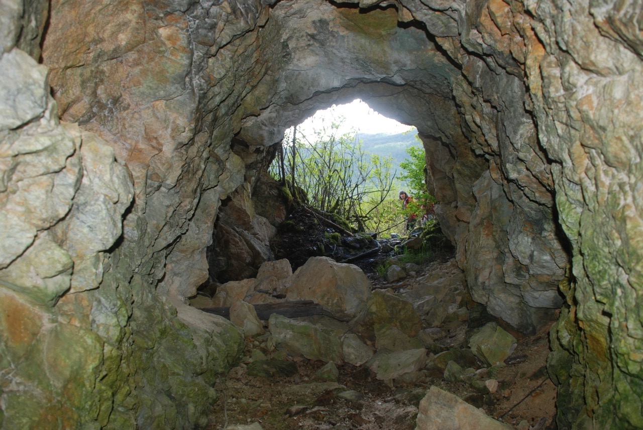
At one spot where the bluff rises up right next to the trail, there is a large hole cut out of the quartz rock. Bob, a local history buff, told us the tale that this was part of an old mining scheme where the promoters salted the claim and sold shares to local residents. After collecting a fair sum of money off the gullible locals, they skedaddled with their ill-gotten gains. At the end of the trail near the railway bridge, is another part of the old mining scheme, an approximately 15 metre long old tunnel dug into the cliff.
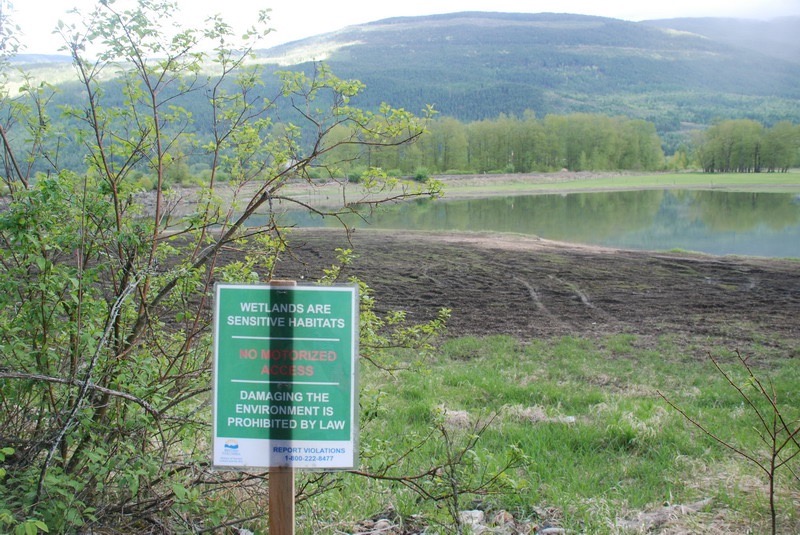
Close to where Larch Hills Creek empties into the lake, there is a former forestry campsite now managed by the Ministry of Tourism. Unfortunately, this campground provides access to the wetlands and the lake and a base for the ATV and motorcycle users who illegally tear up the landscape despite the many warning signs. And what a mess we observed, as alongside the lake are mudflats and vegetation torn up with countless ruts left by the recreational all-terrain vehicles.
Rosemond Lake should be a wildlife refuge that is totally off limits to vehicles. There are many species of waterfowl that use the wetlands, including sandhill cranes, spotted sandpipers and red-necked grebes. As well, this area provides habitat for the endangered painted turtles that lay their eggs in the sand and gravel, only then to get smashed by these off-road vehicles.
A number of years ago, the forest service dug out the road into the campsite to discourage motorized vehicles from entering. However, within a week the ditch had been filled back and there has been no attempt since then to restrict access. A number of signs that say ‘No Motorized Access’ have been posted, but some have been just run over by the ATVs.
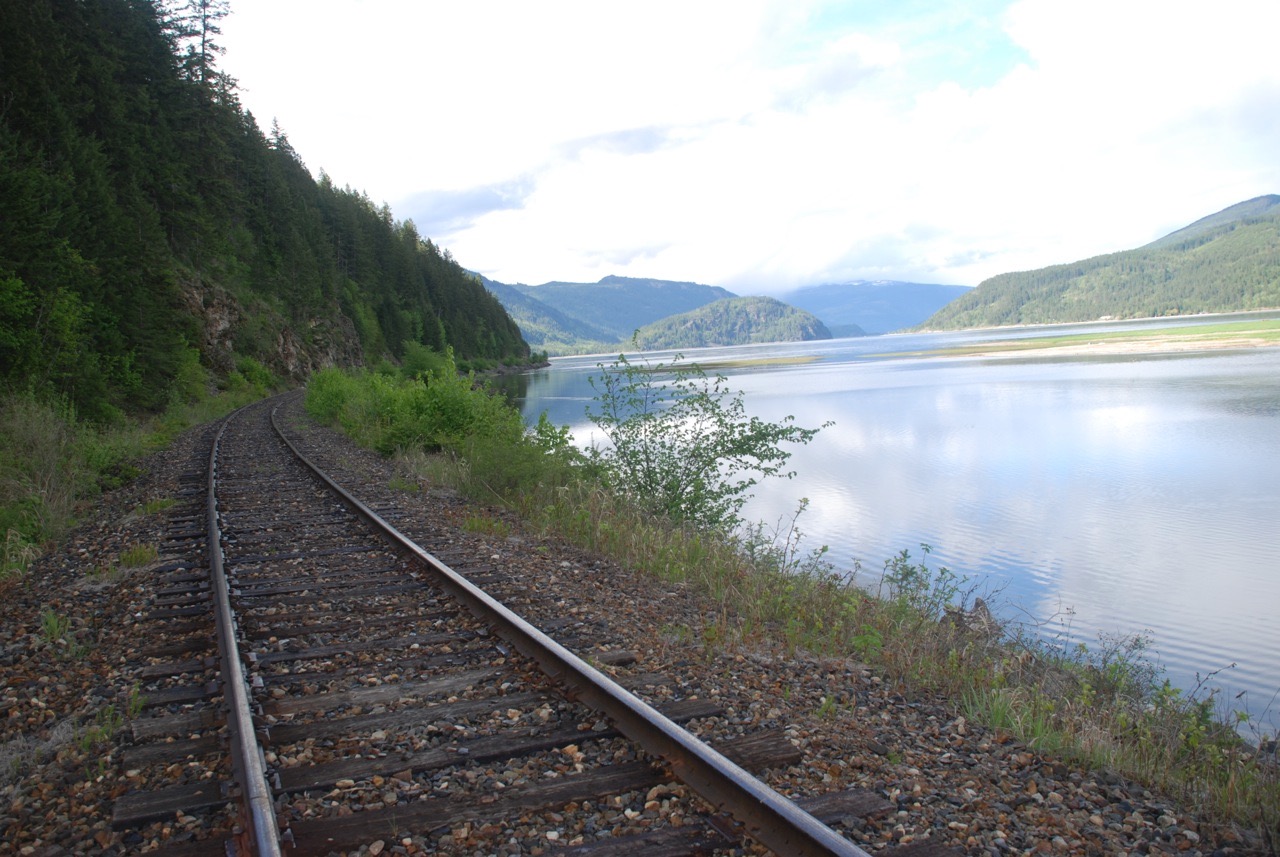
We returned along the abandoned and in disrepair railway track that one day may become a travel corridor between Sicamous and Vernon like the old Kettle Valley railway trails. It would be a marvellously scenic, non-motorized corridor that could help attract environmentally responsible tourists. But something must be done soon to prevent further degradation of the Rosemond Lake shorelines and wetlands, as fragile ecosystems like these cannot withstand such abuse.