There is a vast area of the Shuswap that is not included in local tourism brochures nor is it part of the Shuswap Trail Alliance network. In fact, this area that includes Lumby and Cherryville is often deemed to be part of the Okanagan, when in fact it is within the Shuswap River watershed. Recently, we hiked to the top of the Camel’s Hump, a landmark for this region since time immemorial.

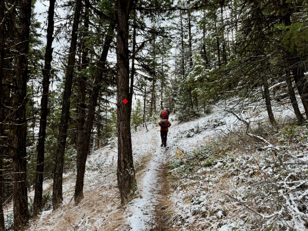
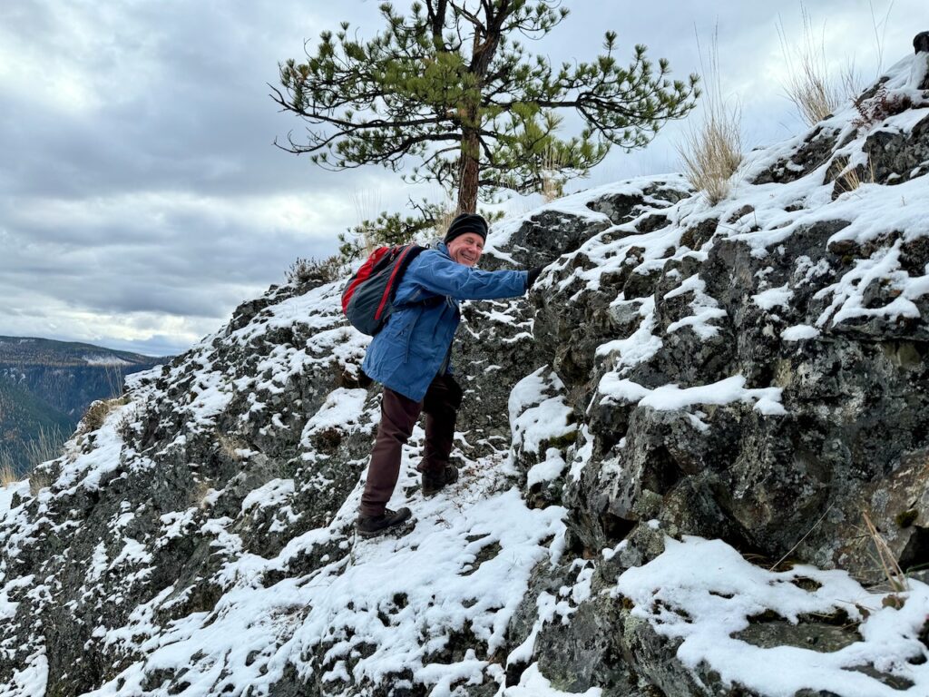
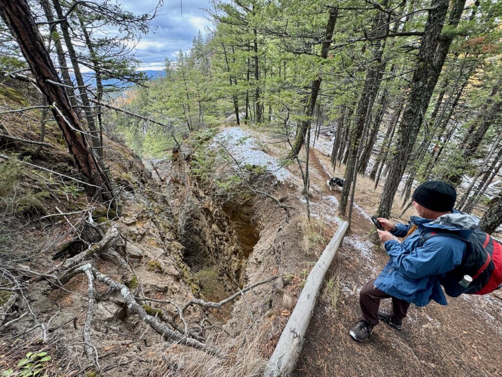
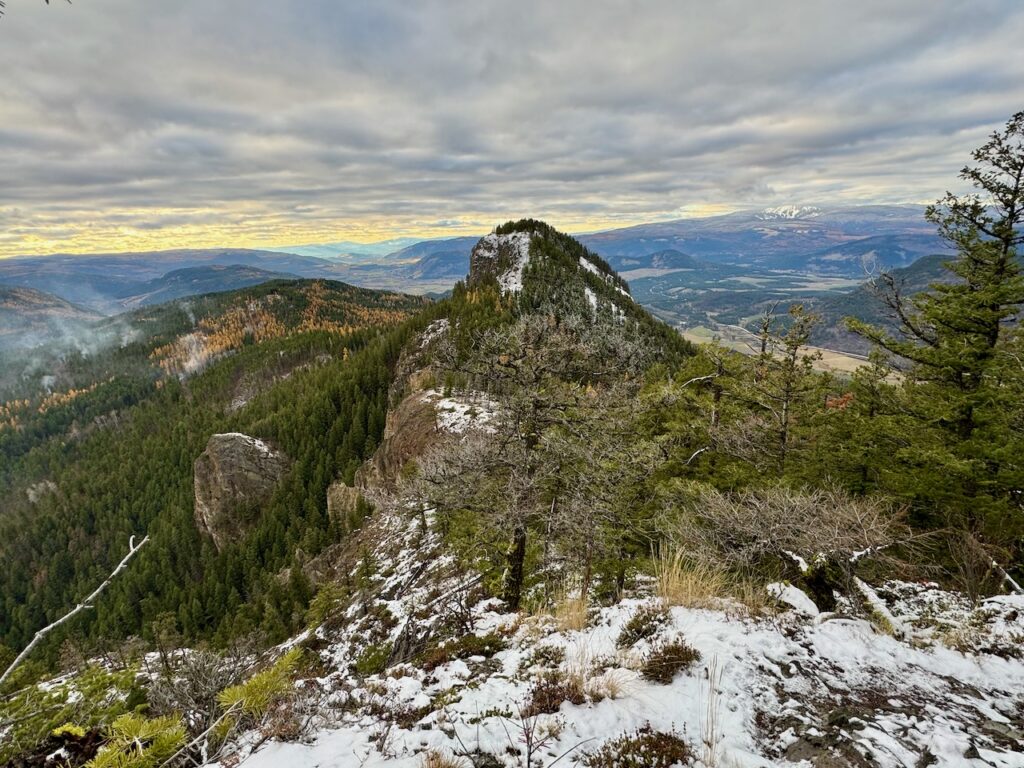
It was indeed a remarkable adventure, as this trail winds up the first hump, down into the saddle and up again to the peak through diverse forests atop ancient volcanic basalt rock. The views are extraordinary, as one can see Mable Lake, Lumby, Vernon, the Creighton Valley and the ski runs on Silverstar Mountain. We encountered snow at the top, but the bedrock surface was visible in many places and the trail was steep going down and up in the saddle.

At the top of each hump, there is an egg-shaped communication beacon with solar panels and on the second hump there is a helicopter pad. Apparently, these beacons are used for emergency services and the helicopter is used to bring fresh batteries and service the equipment.

The geology of these peaks is quite fascinating, as at the top there is smooth basalt with a gravel-like surface and there are steep crevices with side walls consisting of volcanic rock. While some locals believe that the humps are ancient volcano vents, geologists speculate that they are composed of a 50-million-year-old basalt lava flow that was thrust upwards due to faulting, while the valleys were formed by glacial erosion.
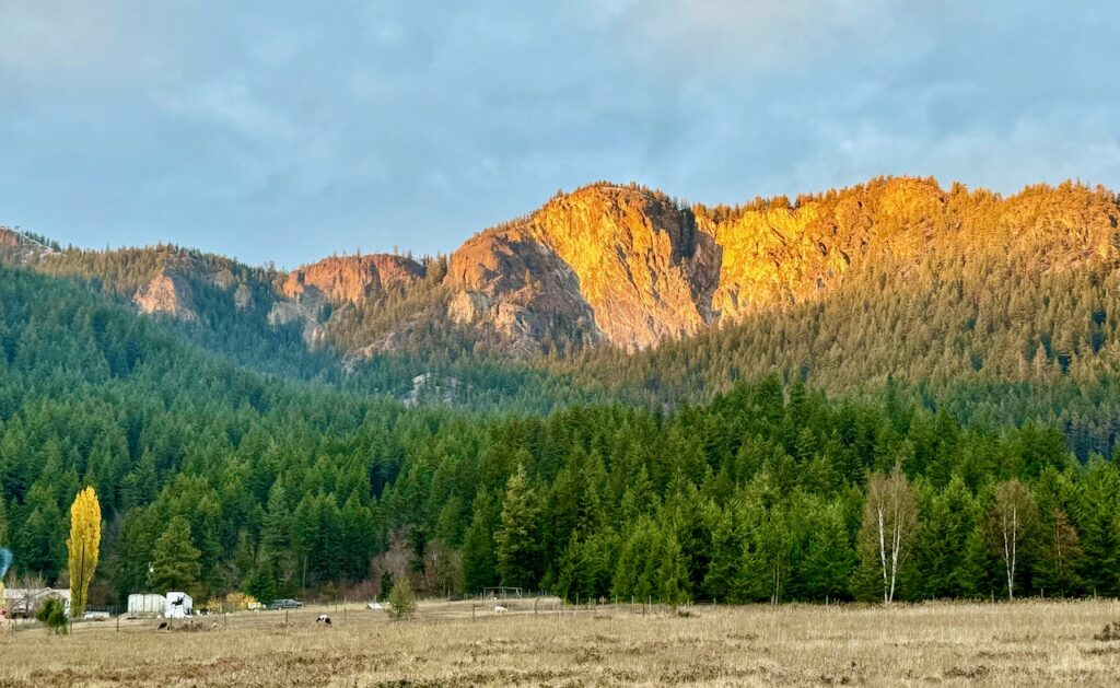
For the Sylix (Okanagan) people, the Camel’s Hump is known as Coyote Sleeping and from the valley floor you can indeed visualize a sleeping coyote shape in the rock face. According to their legend, Coyote slept here prior to making a giant stone kettle to catch and cook salmon at Shuswap Falls for all his friends. As was the case for many of the high points in the interior, the Hump was likely one of many lookout stations where communication fires could also be lit. There are reportedly pictographs located both on one of the humps and on a giant boulder in a field below.
Years ago, locals were able to drive to the saddle between the humps, but since this narrow 4×4 road begins at private land, it has been blocked off for public use. Apparently, in the 50s and 60s, there was a small cabin at the very top used for a fire lookout, and it is possible this road was built to service the lookout.

Although the Camel’s Hump was likely never a volcano, it is now referred to as one because of the hot air that rises off it during the summer, which hang gliders use to gain elevation. The Lumby area is well known for hang gliding, as it is one of the best places to glide in North America. Local realtor, Randy Rauck, has been hang gliding there since he was a teen and when the 4×4 road was open, he and his friends would often launch off the top of the Camel’s Hump.
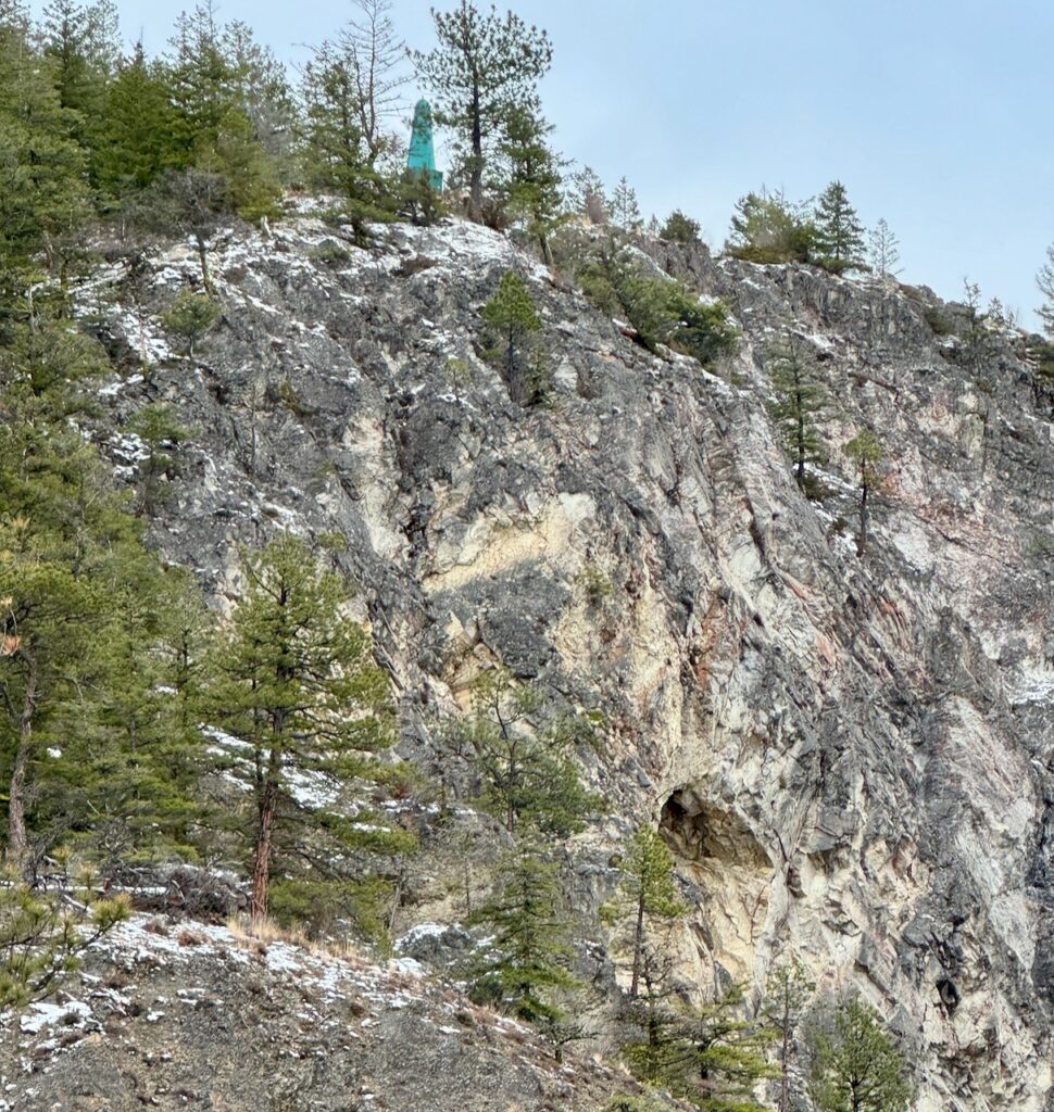
On our return from the peak, we noticed what looks like a cave on the steep west face of the first hump, that would be tempting to explore if it was accessible. Apparently, a rock climber did lower himself down to this feature using a rope to venture inside where he found crystals in it. If it is indeed a cave, it would be one of the very few caves in the Shuswap.
The Camel’s Hump trail is managed by the Vernon Outdoors Club, and they installed new orange trail markers in 2020. There are other great trails nearby, including the Eagle Bluffs trail above Echo Lake, the Richlands historical flume trail, and the short trail into the Aberdeen Columns that is a prized climbing area. However, to learn about these trails, one has to search various websites for maps, directions and other information, including the AllTrails website that charges a yearly fee. It would be wonderful, if these east Shuswap trails were included within the Shuswap Trail Alliance network, so hiking enthusiasts could easily access directions and maps for all the trails in the Shuswap.
POSTSCRIPT

Years ago I had hiked a section of the Richland’s Historical Flume Trail, but I recently tried to find a map and was unsuccessful. Apparently, the trail has not been maintained and there are too many trees down blocking it now. Since the CSRD has a Parks and Trails department, I checked to see if the North Okanagan Regional District has one and they do not. Parks are just now being developed in two areas, but not in the Lumby and Cherryville area. The Vernon Outdoors Club seems to be the only group managing trails here and it does not look like BC Recreation Sites and Trails is involved either. Clearly, there is room for improvement, given how hiking trails are a key feature for both tourism and healthy communities.


