What does it take to create a community? Certainly, communities are much more than geographic areas where people live. When neighbours come together, collectively, with a shared vision and goals, they are no longer strangers to each other and thus they can better thrive and achieve success. In the Shuswap, just as we are fortunate to have a wide diversity of geographic features, so too we have a diversity of communities.
To best comprehend how diverse Shuswap’s many communities are, imagine driving the circumference, including on gravel roads, while taking side routes, having to drive outside the watershed boundary and having to retrace your travels all due to the mountainous terrain and multitude of river valleys. Beginning at the “Gateway to the Shuswap” in Chase one can drive north across the South Thompson River to the ancient Secwépemc community of Sexqéltqin and from there head north and then east past Skmana Lake through the Bear Creek Valley to Adams Lake, where a side route goes north to Skwaam Bay and then east along the Louis Creek road to where there is a small community hall.
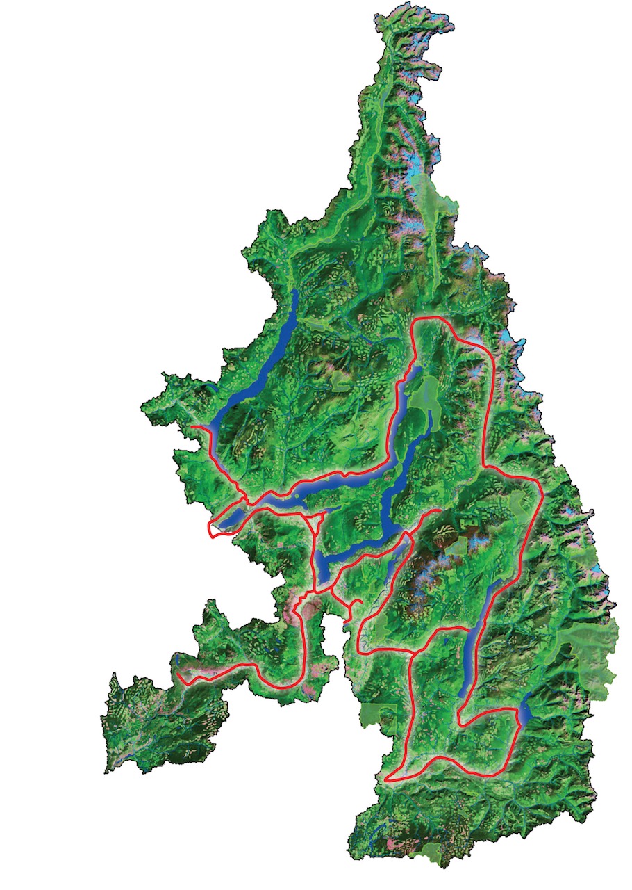
From Adams Lake you head south along the Adams River before heading east into the North Shuswap through the communities of Lee Creek/Scotch Creek, Celista, Magna Bay/Anglemont and finally to the tiny hamlet of Seymour Arm. Driving north, then east and finally south on logging roads takes you to Malakwa. After heading east on the TCH at Three Valley Gap you can head south on a logging road along Mable Lake, the Shuswap River and past the Mable Lake Hall. Close to Lumby, you can head east again to Sugar Lake via a logging road below Silver Hills to Sugar Lake.
Heading south to Cherryville, you can finally head west to Lumby where you are able to head north again through the Trinity Valley to reach the Shuswap River again at Ashton Creek. One needs to take a side route east to Kingfisher and Mabel Lake before driving west again to Enderby and Splatsin. Travelling north on Hwy 97A, the route goes through Grindrod, past Mara to Sicamous, where another quick tour to Cambie would be needed before heading west to Salmon Arm. Side trips would be needed to visit the Sunnybrae community, the Gardom Lake/Deep Creek community that includes a portion of the Okanagan and Grandview Bench.
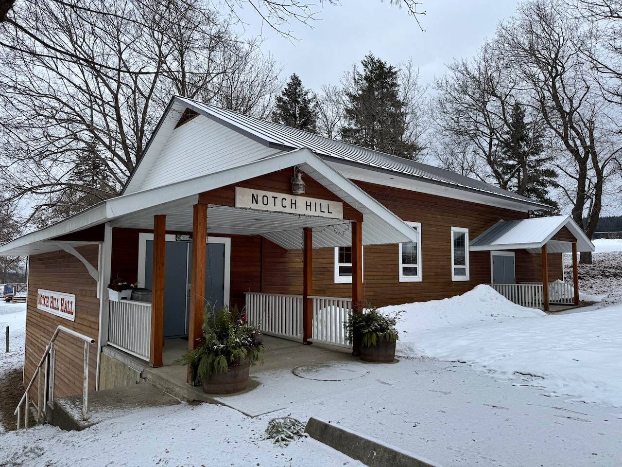
In order to travel to the southwest communities of Falkland and Westwold, one needs to drive along the Salmon River through Silver Creek to HWY 97 and then return over the same roads back to Salmon Arm. The final return stretch along the TCH takes you through the greatest density of communities in the Shuswap: Switzmalph, Gleneden, Sxwetsméllp, Silketwa, and Carlin, with side trips to Cedar Heights, Blind Bay, White Lake, Eagle Bay and Notch Hill. Finally, you will pass by Shuswap Lake Estates, Sorrento and Quaaout before returning to Chase.
It would take at least three days to complete the journey and visit all the communities in the Shuswap described above. One would see the small, isolated communities such as Seymour Arm and Cherryville and farming communities like Silver Creek, Grindrod and Westwold. Retirement is an economic driver for many communities and some also depend on tourism, like Sicamous, Blind Bay and Scotch Creek.
To the south are the river communities, Enderby, Kingfisher, and Ashton Creek, and the community more tied to the Okanagan than the Shuswap, Lumby. The newest communities sprung up where large subdivisions developed, including Cedar Heights, Anglemont and Shuswap Lake Estates. Prior to contact, there were many ancient Secwépemc communities in the watershed, and now there are six. Then of course, there is the Shuswap’s major centre, the city of Salmon Arm.
Some of the smaller population centres seen on this journey cannot be deemed actual communities, because they lack a place where residents can come together to share a common bond, including either a community centre or a school or both. When using these criteria to define a community, there is a total of 38 large and small communities in the Shuswap. Within its five municipalities, there are also micro-communities for a variety of groups, including associations and organizations such as senior’s groups, recreational groups, and societies, each with their own buildings where members gather to communicate, participate in activities, celebrate and collaborate.
POSTSCRIPT
This article will form part of the introduction to the first chapter for Volume II of Everything Shuswap about communities which will focus on the social geography of our region. Understanding more about our communities will include looking at what helps them thrive and how residents’ lives are intertwined. Physical geography is the ultimate reason behind where Shuswap communities are located, given that the transportation corridors crucial to every community exist in a landscape that is constrained by rivers, lakes, and mountains. Thus, our largest trading centre, Salmon Arm, is nestled where four valleys and five major travel corridors meet. Our largest communities are adjacent to major highways and the farther from Salmon Arm one goes, the smaller the communities.
In chapter one, there will be a section about every community in the Shuswap. The full list of communities appears below. I have been asked to include Canoe, which indeed fit the criteria until recently, when their community centre was sold to a private owner. There is a Seniors Centre there that also provides a place for the community to gather, so I plan to investigate further. Gleneden and Canoe are unique because each are within the City of Salmon Arm. Gleneden has a vibrant community association that is currently planning to renovate their hall and is thus considered a community on its own.
Learn more about Shuswap communities here
THE 38 COMMUNITIES IN THE SHUSWAP
(Secwepemc communities are in italics)
- Chase (municipality)
- Seqélktqin
- Skwaam Bay
- Lee Creek/Scotch Creek
- Celista
- Magna Bay/Anglemont
- Seymour Arm
- Malakwa
- Mabel Lake
- Cherryville
- Lumby(municipality)
- Ashton Creek
- Kingfisher (Mabel Lake Campground/Marina/golf course)
- Enderby (municipality)
- Splatsin
- Grindrod
- Mara
- Sicamous (municipality)
- Cambie
- Salmon Arm (municipality)
- Grandview Bench
- Gardom Lake/Deep Creek
- Silver Creek/Salmon Valley
- Falkland
- Westwold
- Switzmalph
- Gleneden
- Sxwetsméll
- Silketwa
- Sunnybrae
- Carlin
- White Lake
- Shuswap Lake Estates
- Blind Bay
- Cedar Heights
- Notch Hill
- Sorrento
- Quaaout