Shuswap first explored 200 years ago
March, 2011
This year marks the 200th anniversary of when the first explorers visited and stayed in the Shuswap region. The goals for these fur traders were to find new sources of beaver pelts and to establish new trading routes. There was stiff competition between the Canadian North West Company and the American Pacific Fur Company headed by German immigrant, John Jacob Aster, with the results influencing the future boundaries for the two countries.
In previous years, the skilled surveyor and explorer David Thompson had been working his way down the Columbia River while establishing trading forts along the way in the Kootenays. His plan was to arrive at the mouth of the river to claim this area for the British, but concerns over potential clashes with the unfriendly Piegan Indians delayed his journey. Meanwhile in early 1811, the Astorians, who were actually former North West Company men and British subjects, arrived at the mouth of the Columbia on the frigate, The Tonquin, and built Fort Astoria.
When Thompson finally arrived in July to claim the area for the British, he found the Stars and Stripes flying above the new fort. The Astorians then outfitted an expedition headed by David Stuart to set up a network of Interior trading posts. Thompson and Stuart headed up the Columbia River together, but Thompson with the lighter weight canoes pushed on ahead, and at one point attempted to claim the area for the British by paying one tribe to block the Astorians and by leaving a Union Jack and a written notice.
Stuart and company had no problem convincing the Indians to let them pass and they continued up the river to its junction with the Okanagan River. Near this junction they quickly built a crude, 16 x 20 foot cabin out of driftwood, with a cellar where they stored 1000 pounds of trade goods. In late September, David Stuart headed up the Okanagan River with three men and left Alexander Ross alone with his dog at the unfinished “Fort Okanagan.”
Much of what we know today about these early days stems from the book that Ross wrote years later entitled, “Adventures of the first Settlers on the Oregon or Columbia River. “ Stuart had intended to return within a month, but winter arrived early and heavy snows delayed him. When he did arrive back in March of 1812, this account of his adventures, as quoted by Ross, provides this first written description of our region:
“After leaving this place,” said he, “we bent our course up the Oakinacken, due north, for upwards of 250 miles, till we reached its source; then crossing a height of land fell upon Thompson’s River, or rather the south branch of Fraser’s River, after travelling for some time amongst a powerful nation called the She Whaps. The snow fell while we were here in the mountains, and precluded our immediate return; and after waiting for fine weather the snows got so deep that we considered it hopeless to attempt getting back, and, therefore, passed our time with the She Whaps and other tribes in that quarter. The Indians were numerous and well disposed, and the country throughout abounds in beavers and all other kinds of fur; and I have made arrangements to establish a trading post there the ensuing winter. On the 26th of February we began our homeward journey, and spent just twenty-five days on our way back. The distance may be about 350 miles.”
While this account is sparse, much can be ascertained from it. Stuart no doubt travelled on a well-established Indian trail, that later became the famed Hudson’s Bay Brigade Trail that was first used to ship furs south and bring supplies north. It later served as the route for moving horses and cattle and for the gold miners heading north. Ross’s book describes countless attacks by the Indians along the Columbia, who often swarmed them wherever they travelled, while their descriptions of the “She Waps” confirms later portrayals that they were a primarily peaceful tribe who helped these early traders get established here.
As for Thompson, he never did see the river that was named after him by Simon Fraser. He did, however, in 1814 create the first map of the southern interior of this province, on which he labeled the Thompson River as Shee Wap River. He likely based his crude map, with its grossly inaccurate depiction of the lakes, on information from Stuart and Ross. And from this map and Ross’s book, we now know how our region became known as the Shuswap.
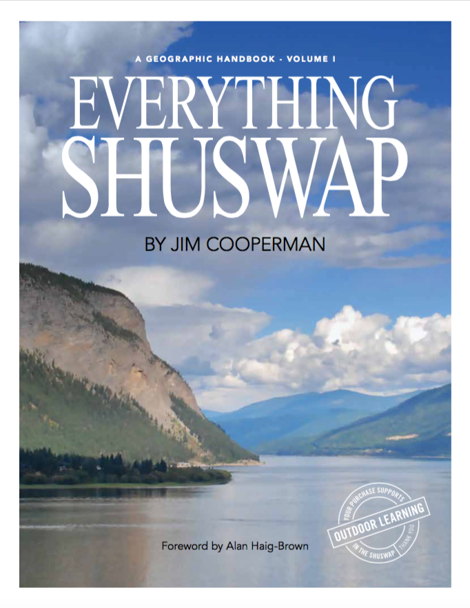
[Ross’s book is a fascinating read, filled with adventures and amazing descriptions of the country and the Indians. Both this book and the map are now available on the new history section of shuswapwatershed.ca.]
